La Granada - Vilafranca del Penedès

Through the heart of the Penedès plain
This short stage, now in the middle of the central part of the Penedès plain, is characterised by the prominence of vines. The more abrupt reliefs carved out by streams and torrents now give way to large expanses of vineyards that order the landscape, flanked by hills where small pine groves, holm oaks and bamboo can be found. The proximity to the larger urban centres of the region also means a greater presence of transport and industrial infrastructures, but the small villages and a network of paths and local roads still make it possible to move around in an eminently rural environment. In this stage, the walking, MTB and gravel bike routes coincide.
The route starts at the Granada train station, heads towards the historic centre, and then leaves the village in the direction of Les Cabanyes. Just past the bridge over the C-15, on the right, is the Teuleria dels Àlbers site. Here fossils dating back some 16 million years were found, as well as archaeological remains that show the existence of a Roman settlement, probably a farm.
A few metres further on you leave the Les Cabanyes lane and turn left onto the Ca l'Andratx path. Surrounded by large expanses of vineyards, this connects with other nearby paths that are accessible to farmers, walkers and cyclists. Thus, the Ca l'Andratx lane leads to the Segarres lane and the latter to the crossroads with the Torreta dels Bous lane. From here, one of the variants of this Via Augusta route starts, which skirts Vilafranca through Les Cabanyes and Pacs del Penedès. This stage, however, continues along the Torreta dels Bous lane towards Vilafranca.
The route enters Vilafranca along the Pelegrina path, at the northern end of the town, which has historically been an important crossroads since Roman times. After passing by the cemetery, you reach the Plaça del Pedró, and shortly afterwards, Carrer dels Ferrers, where the town walls were once located. Follow this street to the Plaça de la Vila, where you will find the town hall on the right and the Gothic chapel of Sant Joan on the left.
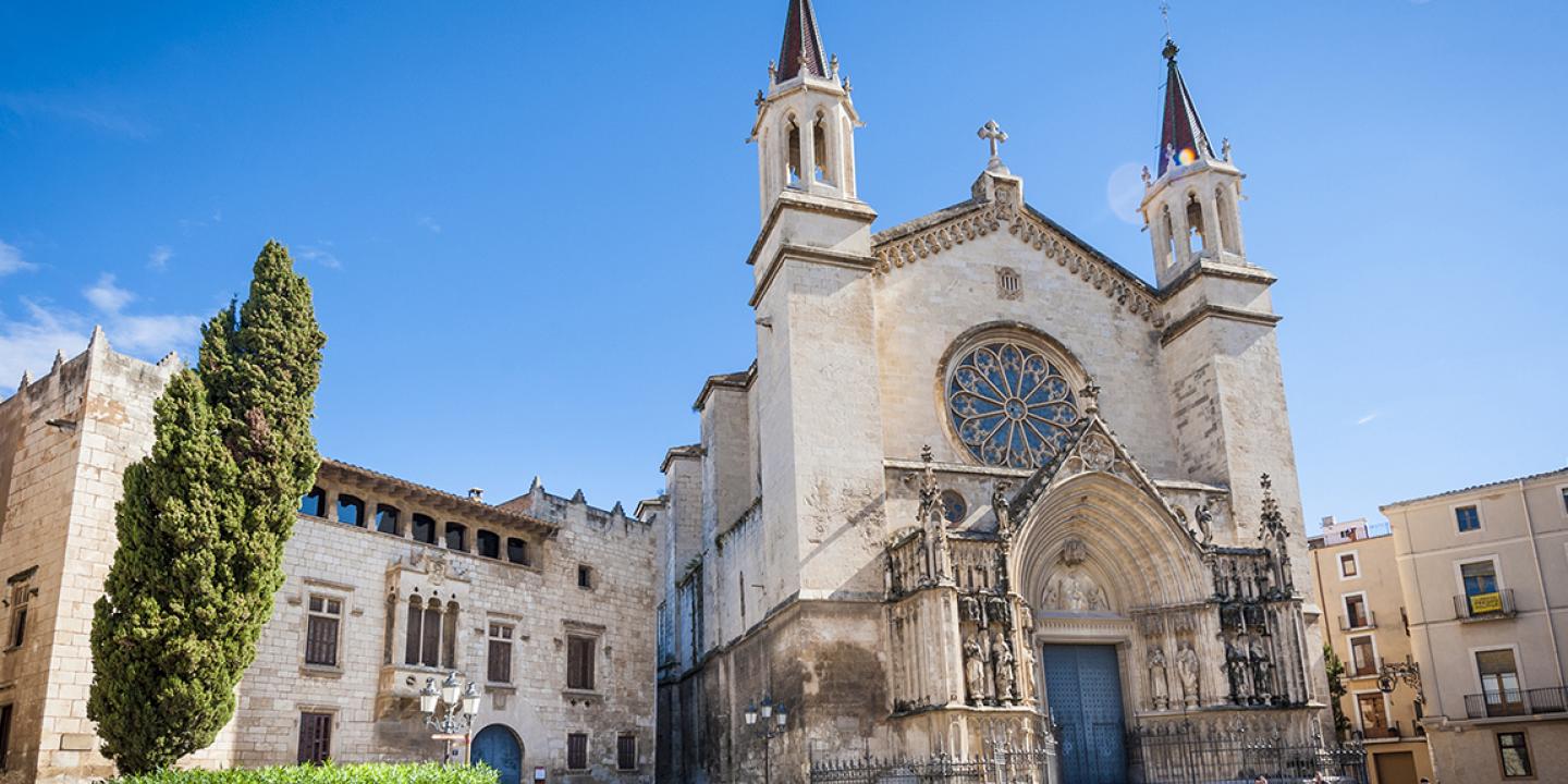
Behind the town hall you can visit the Plaça de Santa Maria and Plaça de Sant Jaume, where you will find important examples of Vilafranca's monumental heritage, such as the Basilica of Santa Maria, the Baltà Palace, the Royal Palace (home to the Vinseum, the Museum of the Wine Cultures of Catalonia) and Cal Gomà (Torres i Bages Library). The stage continues towards the Rambla Sant Francesc, where you can finish the route at the train station. If you want to continue to the next stage, at the end of Rambla Sant Francesc you can take Carrer General Cortijo until you reach the track again.
La Granada and Vilafranca del Penedès train stations.
Hikers can use the hard shoulder of the bridge that crosses the C-15, although it is quite narrow. When you reach Vilafranca on the Pelegrina road, there is a pedestrian crossing to the left of the road that allows you to cross the BV -2127 road safely.
La Granada
Rodalies line R4, La Granada train station.
Vilafranca del Penedès
Rodalies line R4, Vilafranca del Penedès train station.

