Els Monjos - L'Arboç

Through the lands of the Foix River
With a route that definitively enters the southern part of the Penedès plain, this stage begins at the Santa Margarida i els Monjos train station. It starts from a very industrialised environment, but soon changes to agricultural roads surrounded by vineyards, not far from the course of the river Foix. The stage also has the merit of visiting some of the most important remains of the Roman period in the Penedès. The routes for walkers and mountain and gravel bikes also coincide.
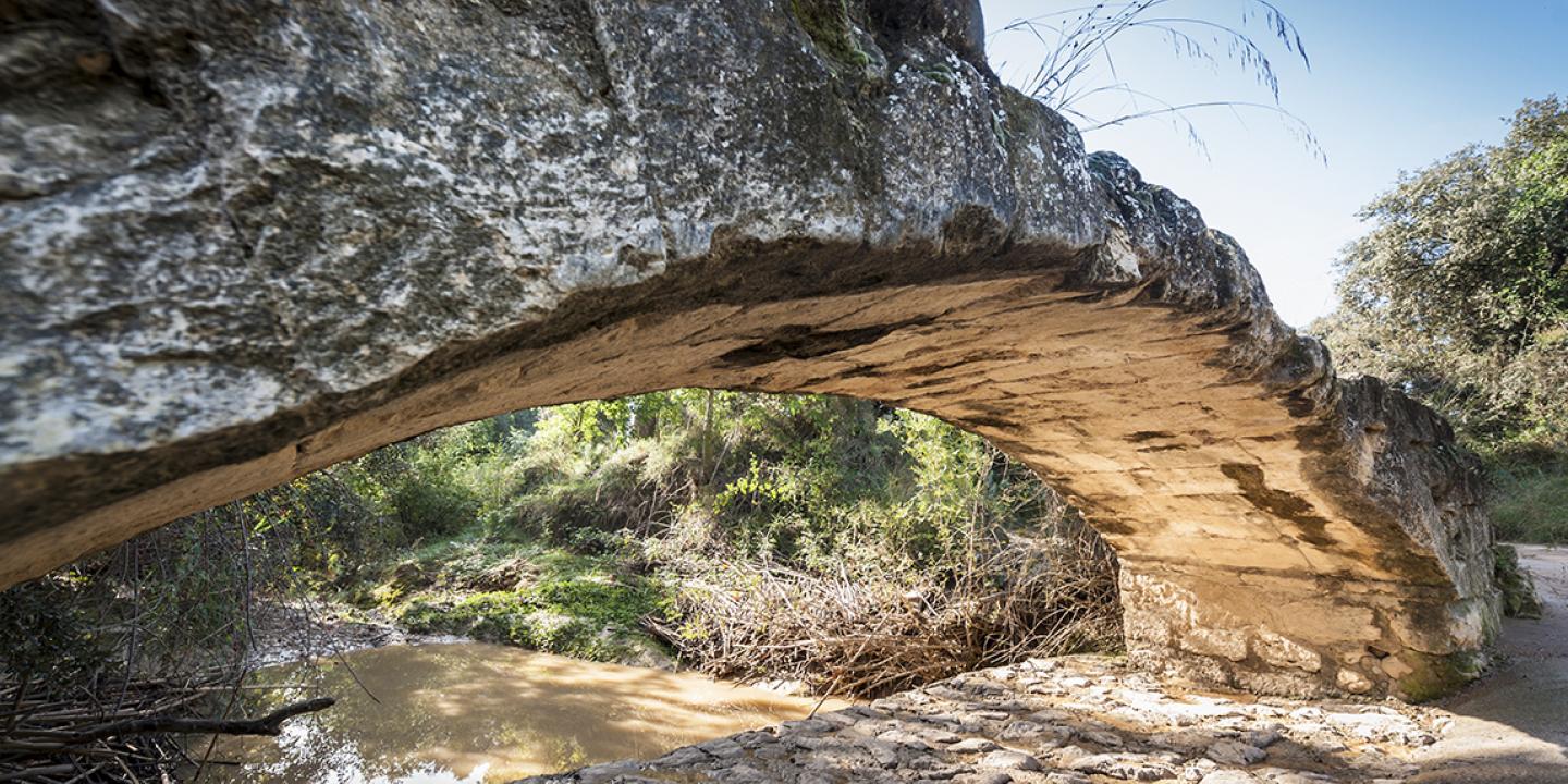
Shortly after starting the route at the train station, still close to the industrial area of Els Monjos but already among the vineyards surrounding the Penyafort castle, is the Roman site of Santa Tecla - La Gravosa. Only a section of the wall, known as the Muro de Santa Tecla, which would correspond to the rustic part of the village, is still visible. The route continues along the Les Masses path, crossing the river Foix a couple of times, until it reaches the BV-2117 road, which is followed to the village of Les Masuques (Castellet i la Gornal). At Les Masuques, leave the main road and continue along the country road that leads to the Romanesque church of Sant Esteve de Castellet. Next to the church there are other remains from the Roman period: the bridge of Les Masuques, built in stone and mortar with a single span, and also some graves where a Roman milestone was originally identified.
Before reaching L'Arboç, the route passes an old dam, also of Roman origin, which was responsible for regulating the flow of the Marmellar stream. This dam, which is quite well preserved, marks the entrance to the municipality of L'Arboç, the end of this stage. After crossing the TP-2115 road, you enter the Moliner road, which crosses a large plain of vineyards until you reach L'Arboç. If you wish to continue on to the next and last stage, you must continue straight on until you reach the boundary cross at Clariana. If you follow the track to L'Arboç, it ends at the train station, but first you will follow a route through the historic centre of this town in the Baix Penedès.
Santa Margarida i els Monjos and L'Arboç train stations.
Pay attention to the stretch of the BV-2117 road to Les Masuques as it has no hard shoulder and also when crossing the TP-2115.
Els Monjos
R4 line of Rodalies, Els Monjos station.
L'Arboç
R4 line of Rodalies, L'Arboç station.
