Gelida - Sant Sadurní d'Anoia

Between the Valls d'Anoia and the Ordal mountains
The first stage of the Via Augusta as it passes through the Penedès begins at Gelida train station and ends at Sant Sadurní d'Anoia. Gelida, located west of the Ordal massif, has a steep slope in its municipal district, typical of the landscapes of the area. It is marked by the presence of the fluvial systems that form rivers and streams. To overcome this difference in height, a funicular railway was built in Gelida at the beginning of the 20th century, which is currently being restored.
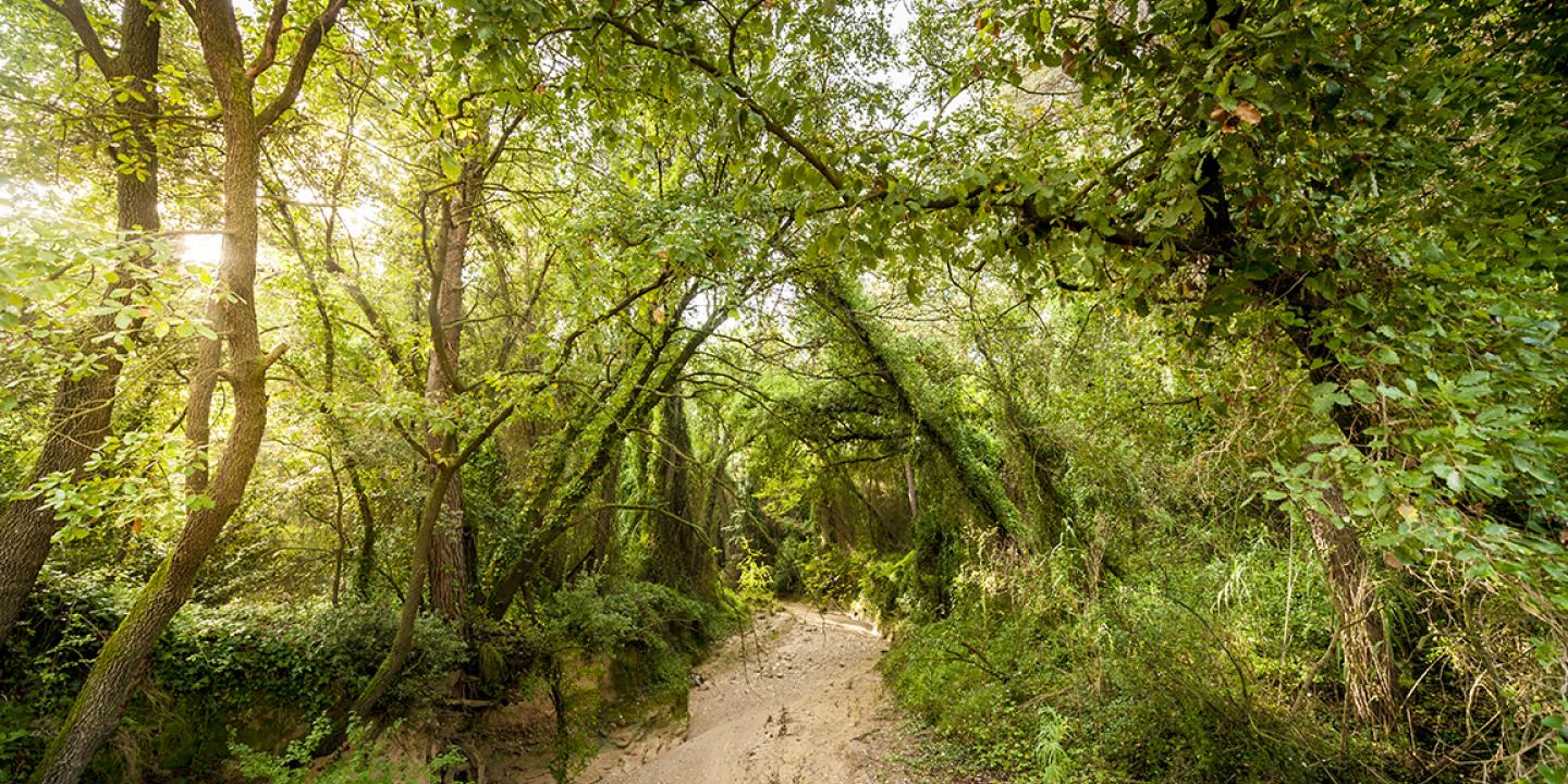
The route for walkers and mountain bikes passes next to the old paper mill of Molí Nou, popularly known as "La Gelidense", which you pass to go along a single track next to the river Anoia. After crossing the river over the Camí del Mig bridge (BV-2249), you come to the Claro fountain, where there is a recreation area with stone tables. Shortly after, leave the road and take the path that leads to the Ferreria, a large 13th century Gothic house joined to the Can Castany farmhouse (18th century). It is at this point that you enter the typical vineyard landscape of the Penedès, although the terrain is still quite rugged, with continuous ascents and descents that allow you to cross the streams and brooks typical of the area.
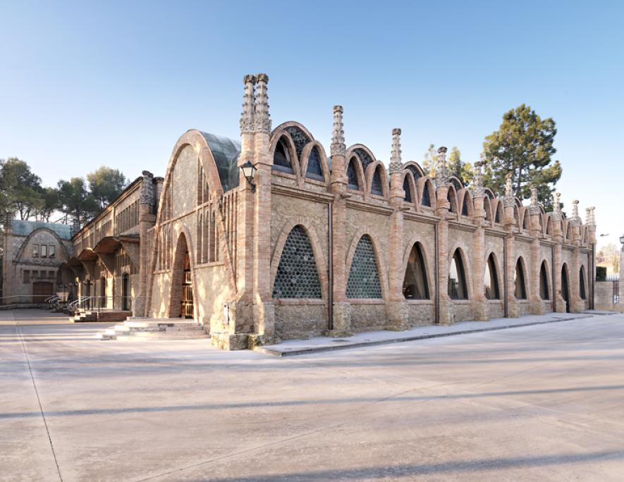
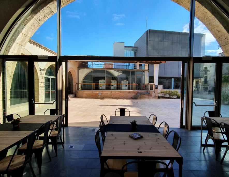
Follow the Can Miquel path until you reach the Piles pass, where you continue along the BV-2296 until you reach the Molí d'en Guineu industrial estate. Here you enter a single track that skirts the industrial estate until you reach the crossing of the river Anoia by a ford. The route passes in front of the Codorniu winery, in the Art Nouveau style, and then heads towards Sant Sadurní d'Anoia. The entrance to the old quarter of Sant Sadurní is through the Plaça del Pont Romà, continuing along Carrer de l'Església, and passing very close to the Cava Interpretation Centre at Can Fassina.
To continue to the next stage, you load the track onto your device and continue through the centre of Sant Sadurní until you reach the dirt road that leads to Can Batista. If you want to continue to the train station, follow the track, which goes down through the Timba park in the direction of the Sant Sadurní d'Anoia train station.
Font d’en Claro and Miranda d'Espiells, near the hermitage of Espiells.
Gelida and Sant Sadurní d'Anoia train station, and open-air public car parks at the Ateneu, Centre and Pont Romà (Sant Sadurní d'Anoia).
The path that follows the river Anoia is cyclable, but if it has rained recently, it may be muddy. It is recommended to follow the gravel route, along the BV-2249 road from Gelida train station in the direction of Sant Llorenç d'Hortons, until you return to the track after the Font d’en Claro fountain. For walkers, it is advisable to use the pedestrian footbridge on the Camí del Mig (BV-2249). After passing the Claro fountain, be careful, as you must turn left from the road to take the path towards La Ferreria. The crossing of the river Anoia arriving at Sant Sadurní can be done by a ford for cyclists or by dismounting and going over the stone footbridge.
Gelida
Rodalies line R4, Gelida train station.
Sant Sadurní d'Anoia
R4 line of Rodalies, Sant Sadurní d'Anoia train station.


